
Welcome to SPECTRE!
SPECTRE (SPECies ThREat spatial data for global land areas) is an open-source (CC-BY 4.0) database containing standardized spatial data on global environmental and anthropogenic variables that are potential threats to terrestrial species and ecosystems.
There are three ways to access SPECTRE. First, we provide an interactive dashboard. Second, a companion R package gecko. Finally, everything is hosted at the Centre for Scientific Computing of Finland. Check the tutorials to access SPECTRE through the different means.
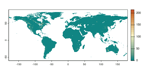
Our goal is to allow researchers and decision makers to swiftly access spatial data on multiple threats at a resolution of 30 arc seconds for all terrestrial areas, similarly to other state-of-the-art services such as WorldClim. These allow full comparability and ease of use under common statistical frameworks for global change studies, species distribution modelling, threat assessments, quantification of ecosystem services and disturbance, among multiple other uses.